GEOINFORMATICS LABORATORY29°53′ N 31°12′ E
Spatial data tell the story of the landscape.
Geodesy, remote sensing and documentation of Egyptian archaeology. From this hub, paths lead to the individual research portals.
- LEGEND
- 9portals
- 2,611map sheets
- 191cadastral areas
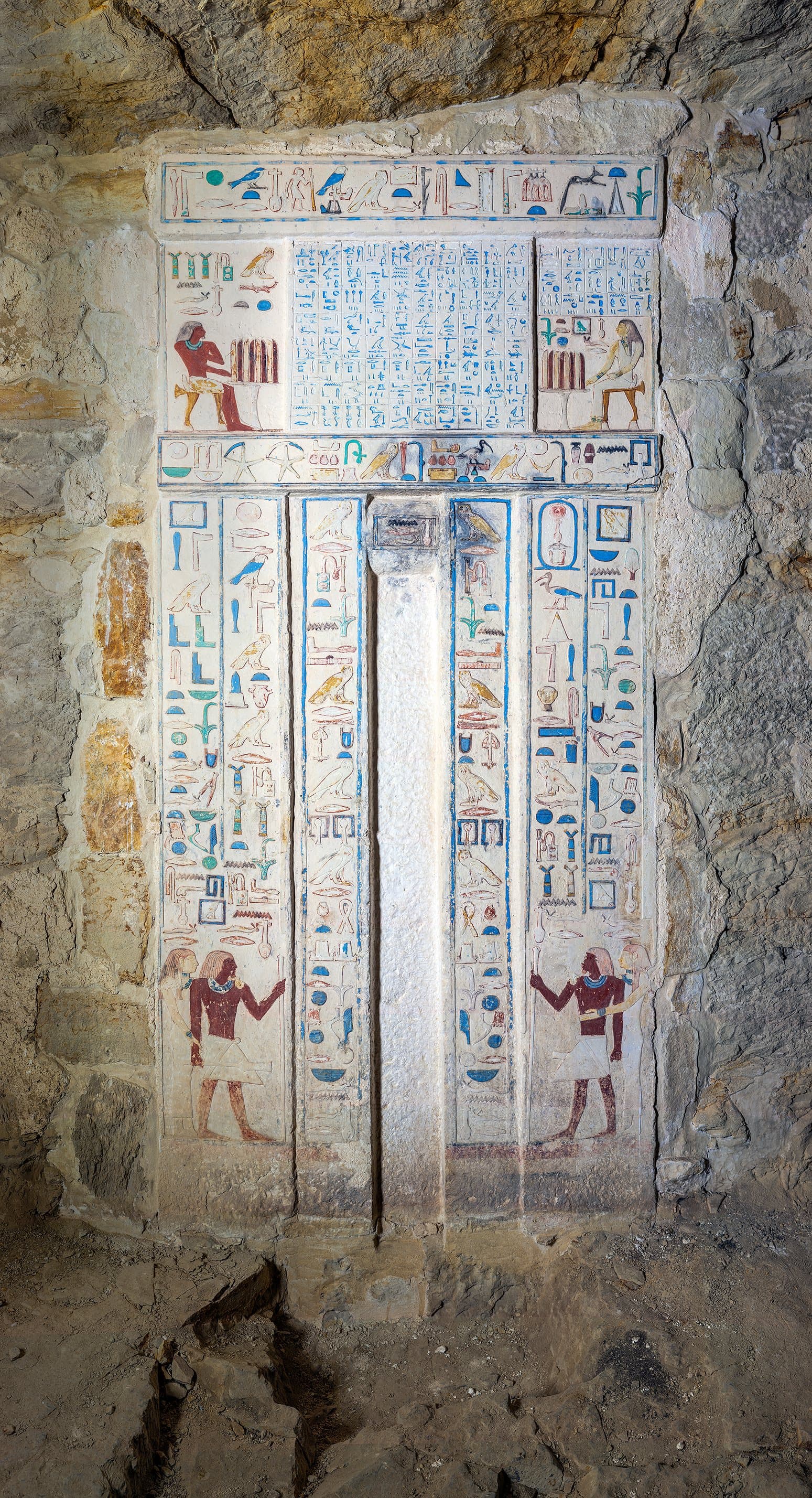
orthophoto · Abusir
AREAS OF EXPERTISE
Methods for understanding space and its change
We combine precise field measurement, historical sources and digital technology. The result is spatially anchored data, maps, 3D models and research outputs used in science, teaching, heritage care and the documentation of archaeological sites in Egypt.
01
Geodesy and GNSS
Building control networks, precise site surveys, unifying coordinate systems and long-term spatial documentation.
02
GIS and cartography
Spatial databases, analyses, thematic maps and web map applications for research and documentation projects.
03
Remote sensing
Aerial and satellite data, UAV photogrammetry, multispectral analysis and monitoring of landscape change over time.
04
3D documentation
Terrestrial laser scanning, image-based photogrammetry, point clouds, textured models and precise digital representations of structures, terrain and archaeological objects.
05
Documentation of Egyptian archaeology
Comprehensive documentation of research at Abusir and Saqqara: geodetic control networks, GNSS, total stations, terrestrial laser scanning, photogrammetry, 3D models and GIS.
Egyptian projects →
FROM THE FIELD
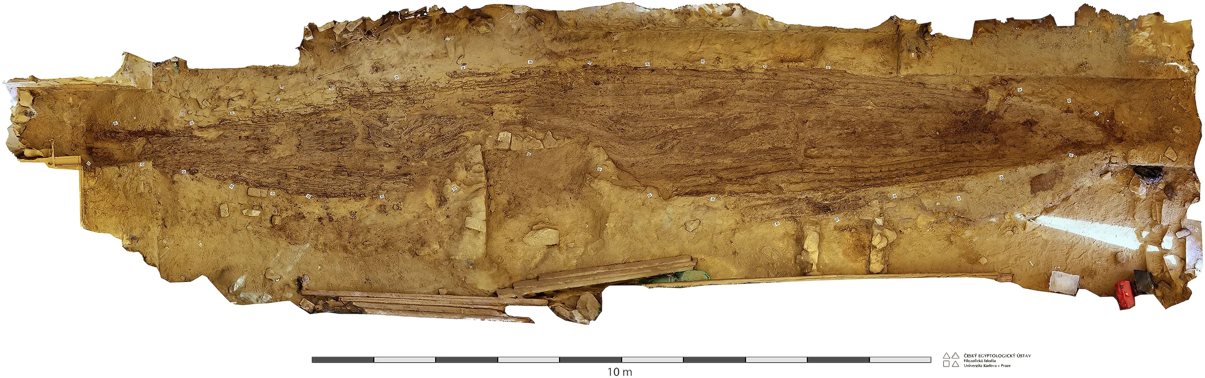
Measurement → model → analysis
ONLINE PROJECTS
Research portals and digital resources
Standalone sites provide access to the results of long-term research, historical map collections and geodetic, cartographic and documentation projects carried out in Egypt.
9 portals · 1 original site · 1 in preparation
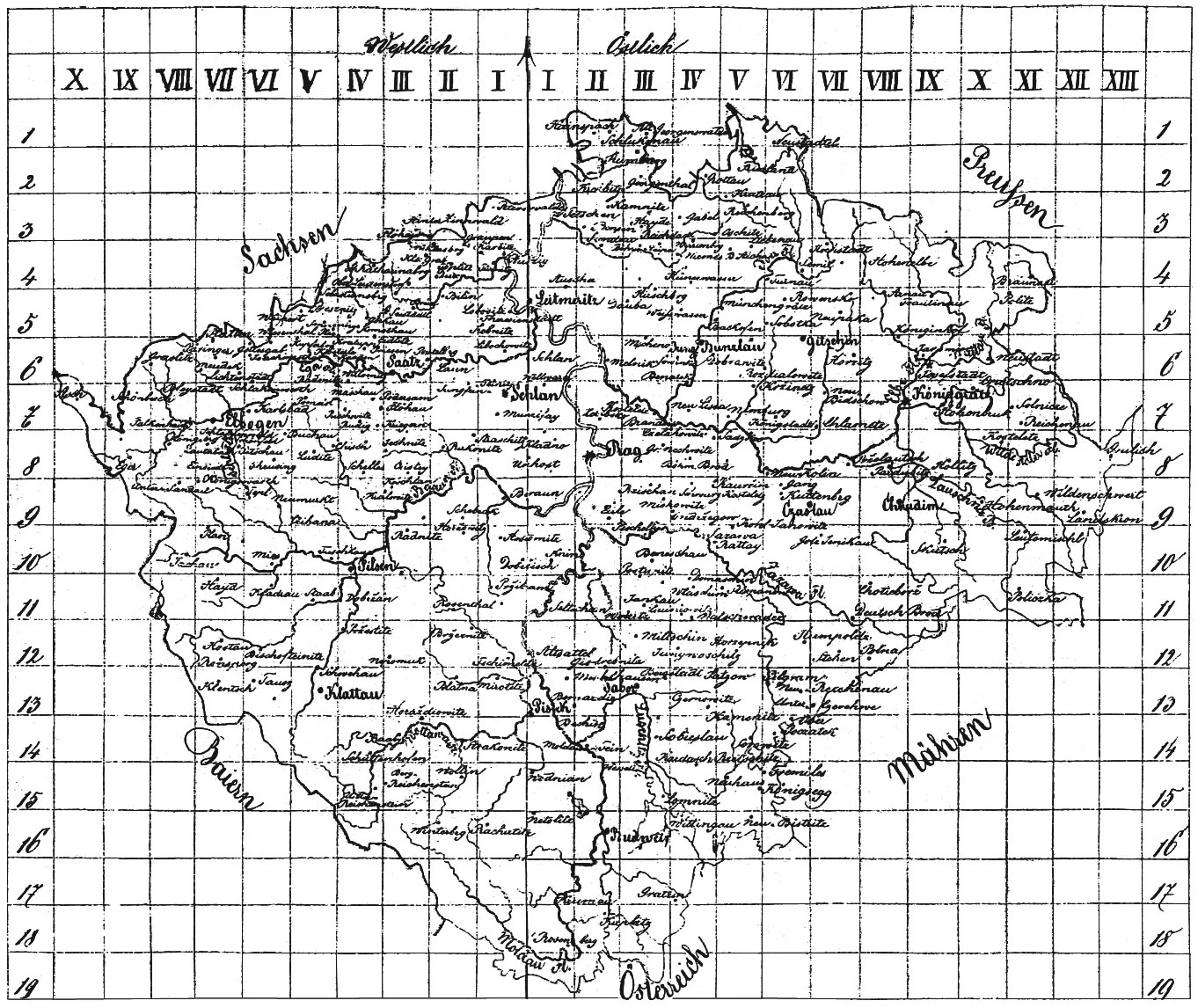 oldmaps.geolab.czMap archiveOld MapsDigital archive of the First, Second and Third Military Surveys, historical map works and cartographic sources.1,310 map sheets
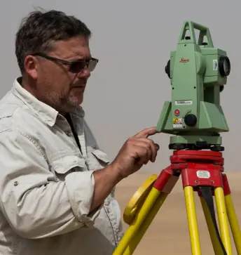 bruna.geolab.czProfessional profileVladimír BrůnaPublications, projects and professional work in geodesy, cartography, GIS and archaeological documentation.CV · publications · fieldwork
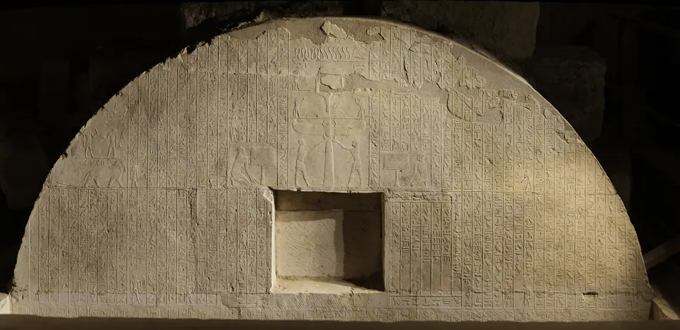 egypt.geolab.czEgyptArchaeological documentation in EgyptField surveys, geodetic documentation, GIS and map outputs from Egyptian archaeological sites.9 zoomable images · 3D models
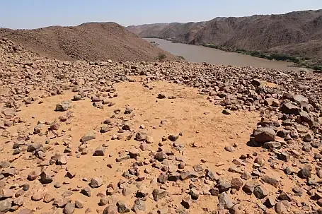 sudan.geolab.czSudanResearch and documentation in SudanGeodetic, photogrammetric and cartographic methods for documenting archaeological sites.5 expeditions · 2009–2012
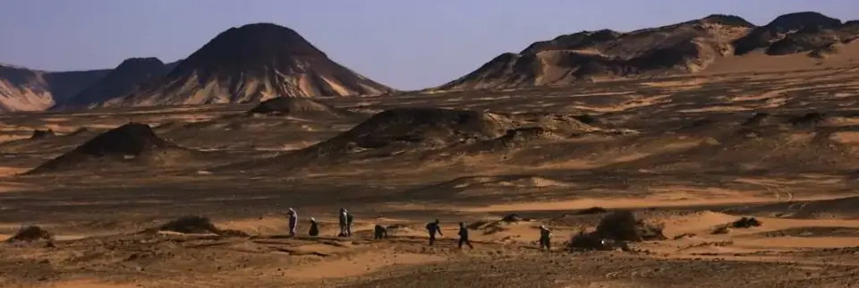 westerndesert.geolab.czField researchWestern DesertArchaeological survey and spatial documentation of El-Hayz in the Bahariya Oasis.13 maps · 3 expeditions
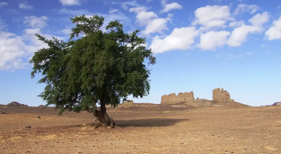 geolab.cz/projekty/el-hezExpedition projectEl-Hayz ProjectSettlement of the El-Hayz oasis from the Old Kingdom to late antiquity – sites, kite photography, team and publications.12 sites · 69 photos
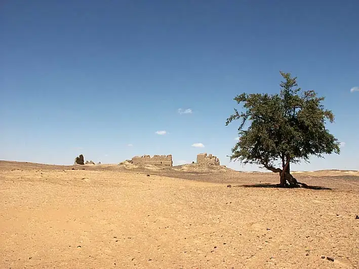 wdf.geolab.czBotanyWestern Desert FloraElectronic herbarium, habitat overview and photo documentation of plants of Egypt's Western Desert.Original site
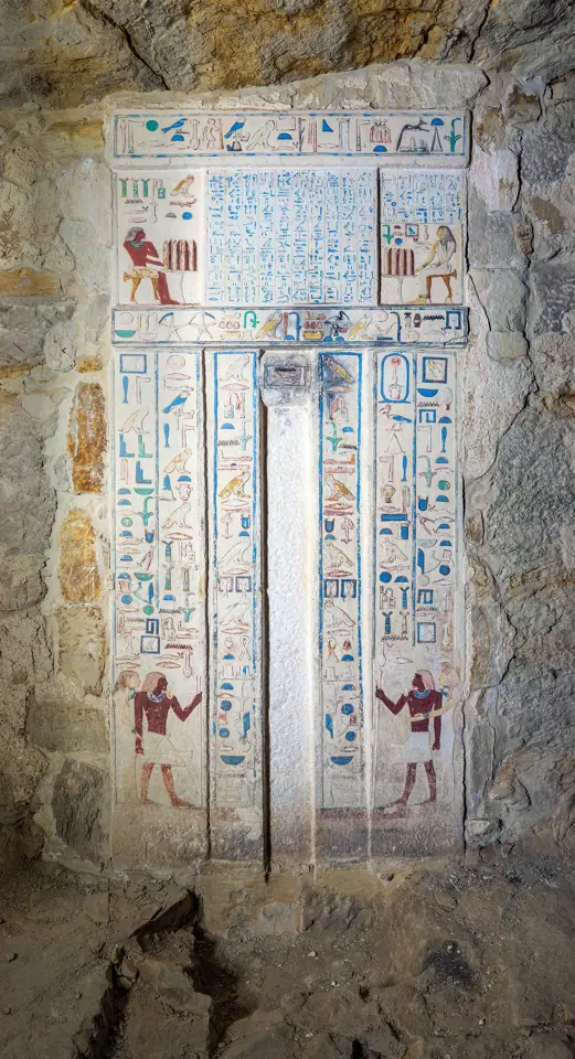 projekty.geolab.czArchiveProject archiveOverview of older and current GEOLAB projects, thematic sites, research outputs and digital resources.15 projects
- geonet.geolab.czGeodetic networkGEONET Abusir–SaqqaraA unified geodetic control network and coordinate frame for archaeological expeditions at Abusir and Saqqara, building on long-term documentation of Egyptian sites.In preparation
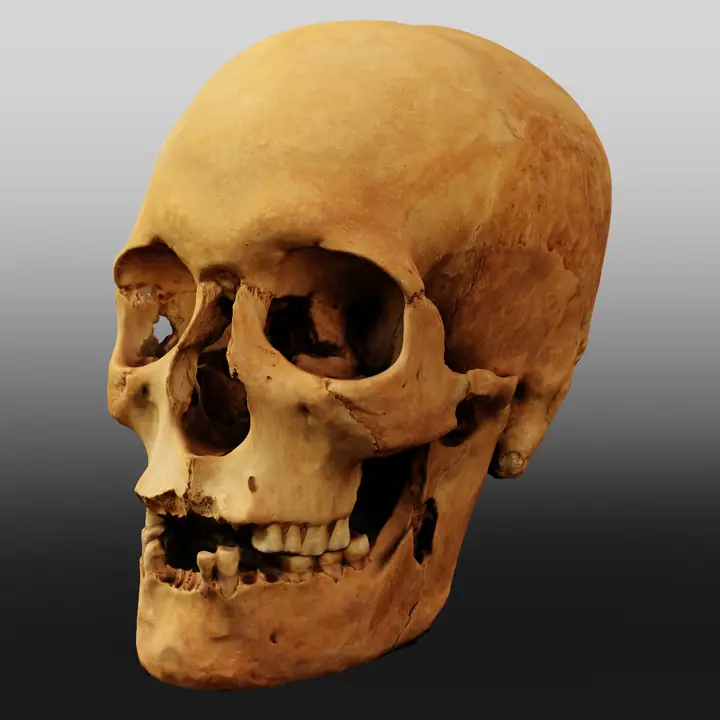
3D DOCUMENTATION
A model you can turn around
A photogrammetric model of a human skull from Abusir – an example of how dozens of photographs become precise spatial documentation of archaeological finds.
Rotate by dragging or scrolling the page
About GEOLAB
GEOLAB links field geodesy with cartography and geoinformatics. Measurements provide the reference frame for maps, GIS, photogrammetry and 3D models. In Egypt and Sudan this builds long-term documentation of sites in a single coordinate system.
More about GEOLAB →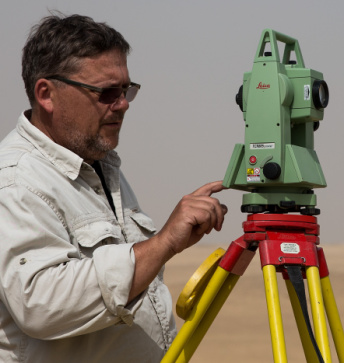
Professional contact
Ing. Vladimír Brůna, Ph.D.
Geodesy, cartography, GIS, documentation of Egyptian archaeology and GEOLAB projects.
Professional profile →