The Western Desert in the Roman Era and the Middle Ages
What’s now known as the Western Desert has been inhabited since the Paleolithic era. Due to the continuous drying of springs, people were forced to leave later on, mainly for the Nile Valley. Yet the oases remained inhabited, which has been proved by the documents from the 6th dynasty (Old Kingdom, 2322-2191 BC) and archeological findings. The interest of the Egyptian rulers in controlling the oases and the roads in this area didn’t decrease during the New Kingdom era (1550-1076 BC). During the 26th dynasty (664-525 BC), the oases flourished extraordinarily; they became centers of trade between Libya and the Nile Valley, and important producers of wheat, barley, wine, olives, dates, fruits, vegetables etc.
During the Roman times, the settlement in the Western Desert concentrated into several oases: Kharga (called Oasis magna by the Romans), Dakhla (Internal oasis), Bahariya (including the minor part called el-Hayez, or Oasis parva), Siwa, Farafra (“The Land of Cows”) and two oases with minor size and importance, Areg and Bahrain. Sometimes also Fayum is included in this list. During the period in question, the oases went through the era of prosperity and growth, both in terms of territory and population.
In the 4th century AD, the Roman control over the margins of the desert slackened, and the Berbers took over the Siwa oasis. Their attacks targeted not only the oases but also the Nile Valley. In the late 5th and early 6th century, the area was jeopardized by Vandals. The threat remained when Arabs took over; as late as 11th century, the Hilal and Sulaim tribes, settled in Upper Egypt, successfully invaded Libya and Tunisia, and their invasion route might well lead over the Western Desert. Each of the Western Desert oases had different history in the middle ages. However, the things they had in common were the decrease of population, and the subsequent dilapidation. The decrease of population all over the Western Desert, in the late antiquity and middle ages, was gradual, yet significant. Small oases on the road from Siwa to Bahariya (Areg, Bahrain etc.) were even abandoned entirely, as early as 5th or 6th century AD. Together with the population, also the Christian religion left the area, to be replaced by ancient Egyptian and Greek-Roman deities. The remaining population converted to Islam during the High Middle Ages.
Oases and locations of the Egyptian Western Desert – Bahariya - Kharga - Dakhla - Farafra - Siwa - Areg - Bahrain
Bahariya
The Bahariya oasis consists of two parts, the distance between them is about 35 km. The northern part is the center of the oasis with the town of Bawiti, to the south there’s el-Hayz. Bahariya is 97 km long and 40 km wide, located in a gorge, the bottom of which is at about 55-100 m above the sea level. The altitude of the gorge’s rims is over 200 m. The most important road from the oasis is the one that goes east, to Nile and now abandoned ancient town of Oxyrhynchos (today’s al-Bahnasa). More caravan roads went to Fayum and Cairo in the northeast, the Farafra oasis in the southwest, and Dakhla, Kharga and Siwa in the northwest.
Even since the Middle Kingdom, Bahariya was an important agricultural center. Most ancient heritage, though, comes from the era of the New Kingdom, and of the Roman period (such as the “golden mummies”). There are several springs in the area (Ain-Bishmu, Ain-Muftilla etc.). South of the main town of Bawiti, there’s the Alexander’s Temple, the only place in Egypt where the cartouche of Alexander the Great has been found.
In the early Roman era, Bahariya, just like other oases, saw a new period of prosperity, even surpassing the 18th and 26th dynasty. New wells were dug, new settlement centers established. Wherever there was water, the land was cultivated by settlers and new immigrants alike. In Bahariya, many springs were restored in this period, and new ones were dug. This period started before the beginning of the Christian era, and finished in the middle of the 3rd century AD. The relics include many rock tombs, and remains of desert villages. Some springs, and adjacent villages and settled areas, weren’t maintained, and gradually vanished.
In 4th to 6th century AD, North Africa and the Western Desert became dangerous places due to invasions from the Libyan Desert and from the south. However, even this period left Roman relics all over Bahariya. A good example is the “triumphal arc” in al-Qasr – it hasn’t preserved this far, but it was depicted in 1820 by the traveler Fréderic Cailliaud.
In the middle ages, the settlement was a fortified village built on the foundations of the Roman buildings in Bawiti. The political, economic and social changes, together with unfavorable climatic conditions, brought an end to the lives of dozens of thousands people in the relatively small area of the oasis, as well as the end of the building and maintenance of complex irrigation systems. The population was decreasing dramatically. The European travelers who visited a part of Bahariya, el-Hayez, in 1820, said that it was inhabited at that time. Later on, the population slowly began to return. In 1947, there were just 7 180 people living in Bahariya (including el-Hayz); in 1966, this number was 9 781. El-Hayz alone had the population of only 60 people in 1938, and 200 in 1949. Some of them were the descendants of former Christians converted to Islam, i.e. the original inhabitants of the oasis. Others came from the Libyan desert, and some from the upper Egypt, just like in other oases.
Kharga
Kharga, located 191 km east from Dakhla, is the southernmost and also the largest of the oases in the Western Desert. One of the most important western roads, Darb el-Arbain, runs through it from Asyut to Sudan. The oasis is about 220 km long, and 15–40 km wide.
As early as the 26th dynasty era, the center of the oasis was the temple of Amon, Mut, Khonsu and Suteh. Near the temple, there’s Christian necropolis Bagawat with 263 tombs from 2nd to 7th century AD, and above it there’s a chapel made of clay bricks, decorated by frescoes depicting the Old Testament scenes (Chapel of Exodus, Chapel of Peace).
The peak period was that of the first four centuries AD. The center of the settlement and the headquarters of the military troops were located near the Hibis Temple; adjacent is the temple-turned-fortress Nadoora, dated to the reign of Emperor Hadrian (117–138) and Antoninus Pius (138–161). Important fortresses in Kharga also include Qasr Ghueta with a temple built probably in the Persian period, Qasr Zayan (140 AD, the Antoninus Pius era). The southern border of the oasis, along the Darb el-Arbain road, was protected by the Dush fortress (the ancient Kysis) with the temple and vast urban housing estate nearby. It’s close to another major building – the temple of Isis, Serapis and Horus, built in the era of Domitianus (81–96 AD).
The Romans also built several fortresses on the northern edge of the oasis, along the road Darb el-Der leading to the Nile Valley. Well preserved fortresses include El-Der, as well as two other ones built west of the road to Asyut: Qasr Labecha and Ain Umm Dabadib. The defense system also includes minor fortresses – centenaries (e.g. Qasr el-Geb and el-Sumaria) A Roman signal tower was preserved near Tahunet el-Hawa. Around the fortifications, a civil settlement was built; towards the escarpment there was a necropolis.
A large Christian community was living in Kharga since the Roman times. Monasteries were built, and old fortifications and temples converted to Christian churches. In the 5th century, the Nubians from the south threatened the oasis, so the settlements had to be fortified. The Arabs came soon after the invasion to Egypt. The Arabic historian Al-Idrisi (1099–1154) described the oasis as vacant and unpopulated. During the Mamluk dynasty, the oasis was manned by soldiers protecting inhabitants and caravans. The Christian traces can be discovered up to the 14th century.
Dakhla
Dakhla, 295 km south from Farafra, is connected with neighboring oases by several desert roads. To the north there’s Darb el-Farafra, connecting Dakhla with Bahariya. Siwa and Fayum. One of the most important roads is the 150-km long Darb el-Ghubari to Kharga. Darb el-Tawíl went to the Nile and Asyut probably since the Old Kingdom times (Ain Asyl was probably built at that time as well). Then there’s the important road southwest, to Gilf Kebir and Gebel Uwejnat. Like other oases, Dakhla flourished economically after the Romans had taken over, but unlike Kharga, not many fortifications have been preserved in this area. On the other hand, preserved was the rural settlement with necropolises and temples, e.g. Ain Birbiya (similar to the temple complex in Kharga as described above). In the nearby Ezbet Bashendi, numerous Roman tombs with stone sarcophagi were examined. The best preserved temple complex in the northwestern part of the Dakhla oasis, consecrated to Amon, Mut and Khonsu, is located in Der el-Hagar, and is one of the most interesting representations of Egyptian architecture in the Roman times. The foundations were probably laid during the reign of Emperor Nero (54–68 AD), and the temple was completed during the reign of Vespasianus (69–79), Titus (79–81) and Domitianus (81–96). Near Ismant el-Kharab, the remains of the settlement from 4th to 6th century AD were examined, called Kellis in the given period. This far, numerous remains of residential houses made of clay bricks have been preserved, as well as necropolis with funeral chapels, also made of clay bricks. The surveys also revealed the existence of several temples with the features of basilicas.
In the end of the Roman era, Dakhla was populated quite largely, with most of the population living on agriculture. In the 6th and 7th century, the population was clearly Christian. The threat of desert attacks led to the building of fortified settlements at strategically important places. The capital, however, didn’t send in many soldiers to protect the settlers and caravans until the Mamluk period. That’s why people started leaving the area.
Currently, the capital of the Dakhla oasis is Mut, with the old Al-Qasr. Othwer important Islamic center is Balat. The necropolis Muzawaka is also worth a visit, as well as several other locations.
Farafra
Farafra is one of the smallest and least explored oases of the whole Western Desert. It’s located about 180 km from Bahariya in the White Desert, covering the area of about 3000 km². Farafra is a crossroad of three trade routes: Darb Ain Della, road to Dakhla and Abu Minkar. The surveys proved that the settlement has been there since the end of the 8th millennium BC. The traces of ancient settlements were found in Ain Della, a nearby cave in Wadi el-Obeid contains engravings and drawings. The oasis also bears scarce traces of inhabitants from the 19th and 20th dynasty. There’s no detailed information from the Hellenic and Roman era, save several necropolises at Ain Bisai and Ain el-Wadi.
In the end of the Roman era, Farafra was a bustling, flourishing agricultural area, but during the following centuries, the population largely decreased. In 1819, the population of the “capital” of the oasis, the fortified Qasr Farafra, was only 180 compared to the original 600. Now, Farafra has about 20 000 inhabitants.
Siwa
This is the northernmost of the oases, in the Western Libyan Desert. It came under Egyptian control during the 25th or 26th dynasty, nevertheless the population managed to maintain a certain level of independence. Herodotus (II, 42) wrote of a different language used by Siwa inhabitants. The most important monument of the Siwa oasis is, unambiguously, Amon’s Oracle, the temple of fortunetelling, the ancient center of the town. Now it’s located in the ruins of Aghurmi, the town abandoned in 1926. The temple of Amon-Zeus was founded by the Pharaoh Amasis (570–526 BC) and bears distinctive features of the Greek architecture. The oracle was consulted not only by Alexander the Great but also by the Lydian king Kroisos, the Athenian Kimon, the Spartan commander Lysandros or Hannibal.
Near Amon’s Oracle, in Umm Ubayda, there are remains of another temple consecrated to Amon. This one was established by Pharaoh Nektaneb II. from the 30th dynasty (360–343 BC).
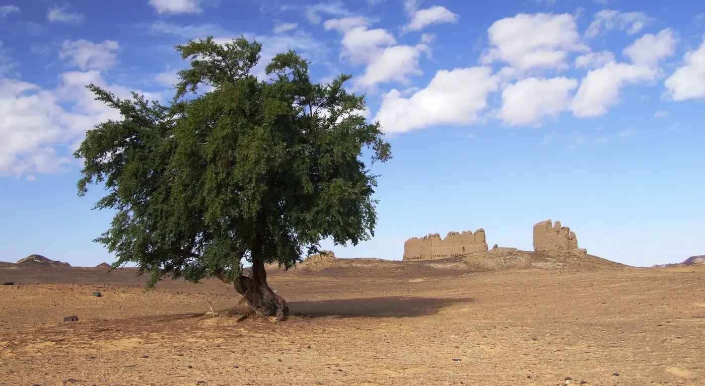
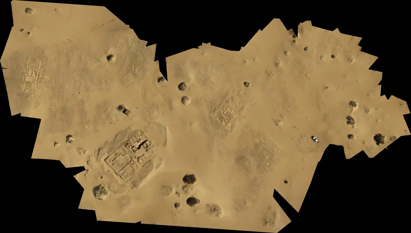
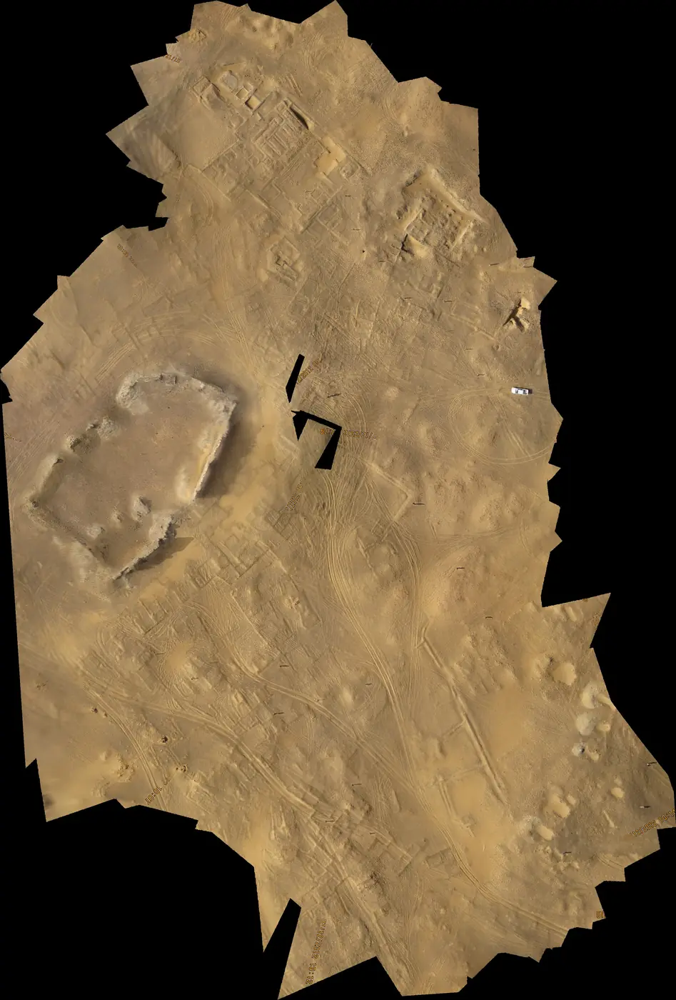
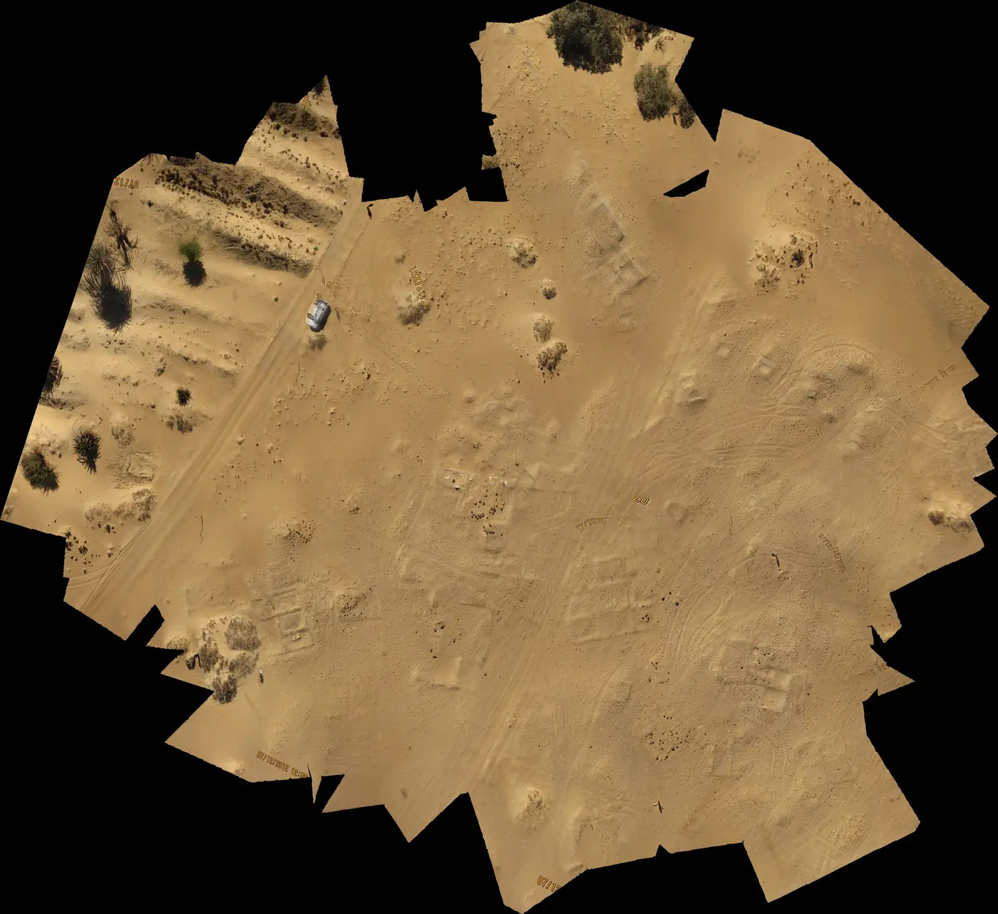
Like other oases, also Siwa has left many necropolises from the Hellenistic and Roman times, with hundreds of graves. The largest are Gebel el-Dakroor or Bila er-Room. Though another medieval town Shali doesn’t show tracks of settlement older than 13th century, the architectural design, character and building material of the residential houses isn’t too far away from the technology of the Roman era. The ruins of the city, abandoned fairly quickly after 3 days of heavy rain in 1926, enable us to understand the construction system and the process of decay of Roman houses, made of clay bricks. That’s what the Czech expedition examined in el-Hayz.
The original 200 springs kept thousands people alive in the Roman times. As early as 4th century AD, the oasis was taken over by the Berbers, who made it their base for their invasions to the south and east. Islam took over in the early 8th century AD, and the remains of the original population were quickly islamized; however, the relations with the ancient Egypt were quite loose. In fact, the oasis was annexed by Egypt as late as 1819–1820 by Muhammad Ali.
Areg and Bahrain
Almost 100 km southeast from Siwa there are several small, now inhabited oases: Nuwamisa, Sitra, Areg and Bahrain. The latest two still show distinct tracks of settlement. In the Bahrain oasis, several hundred of tombs remained; in exceptional cases, also preserved are the remains of undecorated calcite coating on their walls. In 1990s, the Italian archaeologists examined the ruins of a temple on the eastern bank of the salt lake; the temple was built from the local low-quality limestone, 20×8,5 m big, now consisting only of the foundation walls (the temple probably collapsed in the Early Middle Ages). The period when the temple was established was described in the cartouche of Nektaneb I. (380–362 BC); other inscriptions and shards of pottery date the building to the Hellenistic/Roman period.
The traces of the Roman presence can also be found in the small oasis of Areg. No residential houses or their relics have been preserved (or, at last, we don’t know their location), but on the borders of the oasis, in the limestone rocks, hundreds of simple tombs were dug (mostly robbed long ago).
The settlement in Areg and Bahrain is hard to date, nevertheless it’s estimated that the final stage of the settlement belongs to the Late Roman Period, 4th to 6th century AD.
up