From field measurement to spatial model
GEOLAB links precise field geodesy with cartography and geoinformatics. Measurements form the reference frame for maps, GIS, photogrammetry, laser scanning and 3D models.
In Egypt and Sudan this supports long-term documentation of archaeological sites in a single coordinate system, with results turned into spatial databases and publications.
25+
years of the domain
2D + 3D
spatial data
CZ + world
research projects
AREAS OF EXPERTISE
Methods for understanding space and its change
We combine precise field measurement, historical sources and digital technology. The result is spatially anchored data, maps, 3D models and research outputs used in science, teaching, heritage care and the documentation of archaeological sites in Egypt.
01
Geodesy and GNSS
Building control networks, precise site surveys, unifying coordinate systems and long-term spatial documentation.
02
GIS and cartography
Spatial databases, analyses, thematic maps and web map applications for research and documentation projects.
03
Remote sensing
Aerial and satellite data, UAV photogrammetry, multispectral analysis and monitoring of landscape change over time.
04
3D documentation
Terrestrial laser scanning, image-based photogrammetry, point clouds, textured models and precise digital representations of structures, terrain and archaeological objects.
05
Documentation of Egyptian archaeology
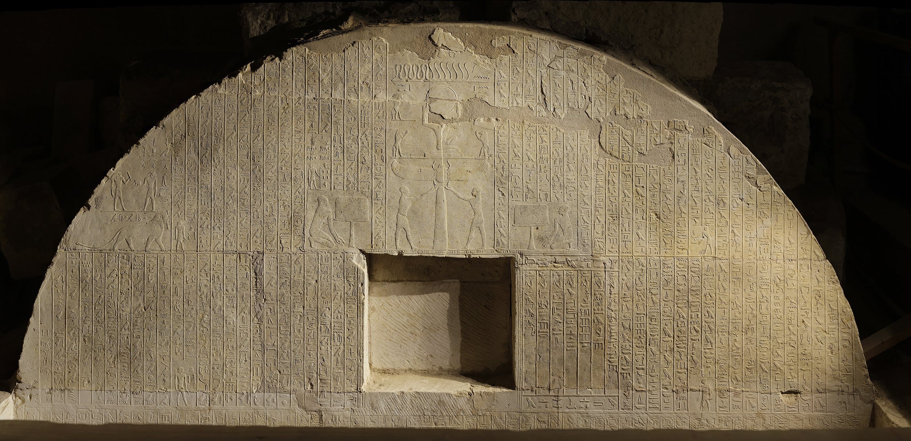
Comprehensive documentation of research at Abusir and Saqqara: geodetic control networks, GNSS, total stations, terrestrial laser scanning, photogrammetry, 3D models and GIS.
Egyptian projects →
Ing. Vladimír Brůna, Ph.D.
Geodesy, cartography, GIS, documentation of Egyptian archaeology and GEOLAB projects.