01
Clickable sheet index and list
The original sheet index of this area was not scanned – open the sheets from the list.
12 / 12 sheets
02
Map information
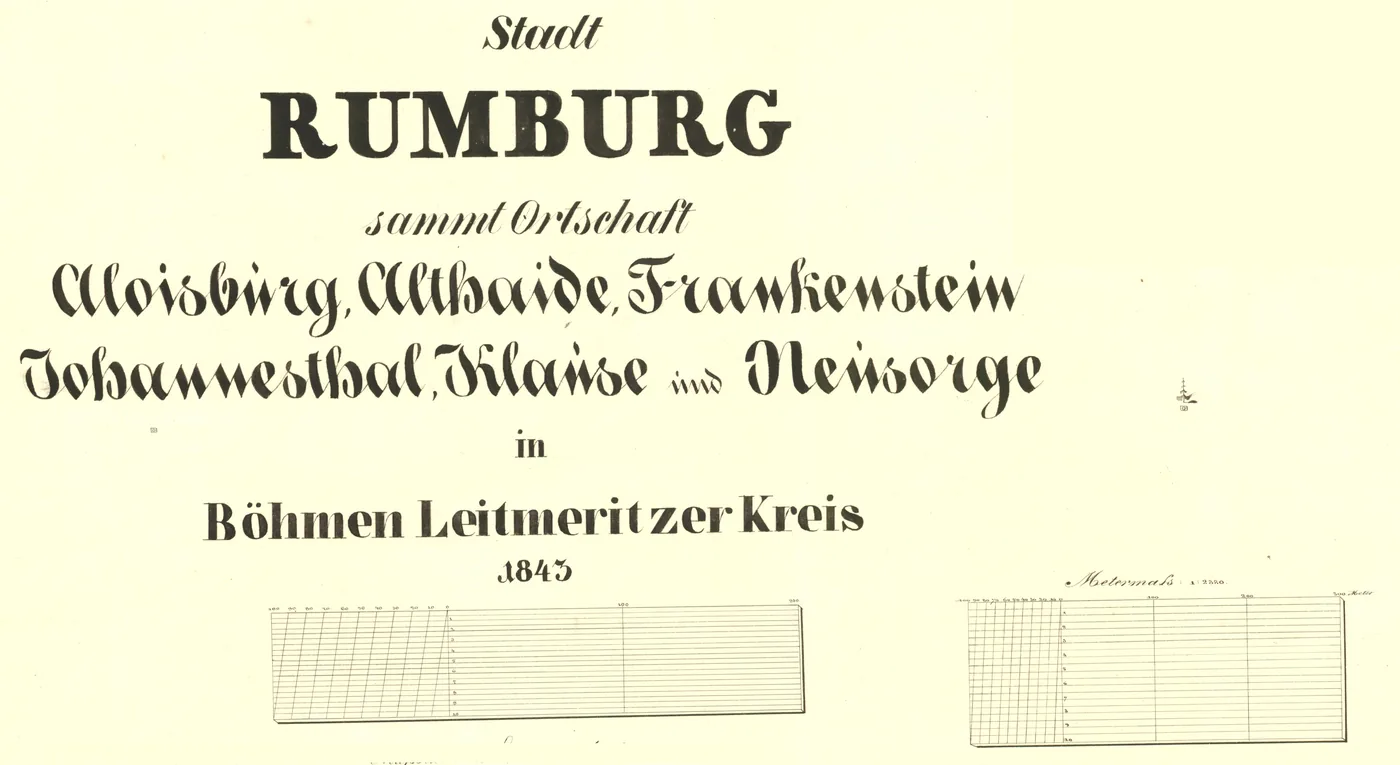
Scan of the map's title note – survey year, scale and other details of the cadastre.
01
The original sheet index of this area was not scanned – open the sheets from the list.
12 / 12 sheets
02
Scan of the map's title note – survey year, scale and other details of the cadastre.