České Žleby
Stable Cadastre · Prachatice district · Jihočeský kraj
27 sheets · 1 sheets of the index have not been found or scanned yet – they are grey in the index.
01
Clickable sheet index and list
Click a sheet in the index or in the list to open it in full resolution. The arrows in the viewer move to the neighbouring sheets.
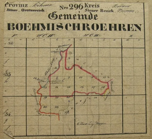
28 / 28 sheets
02
Map information
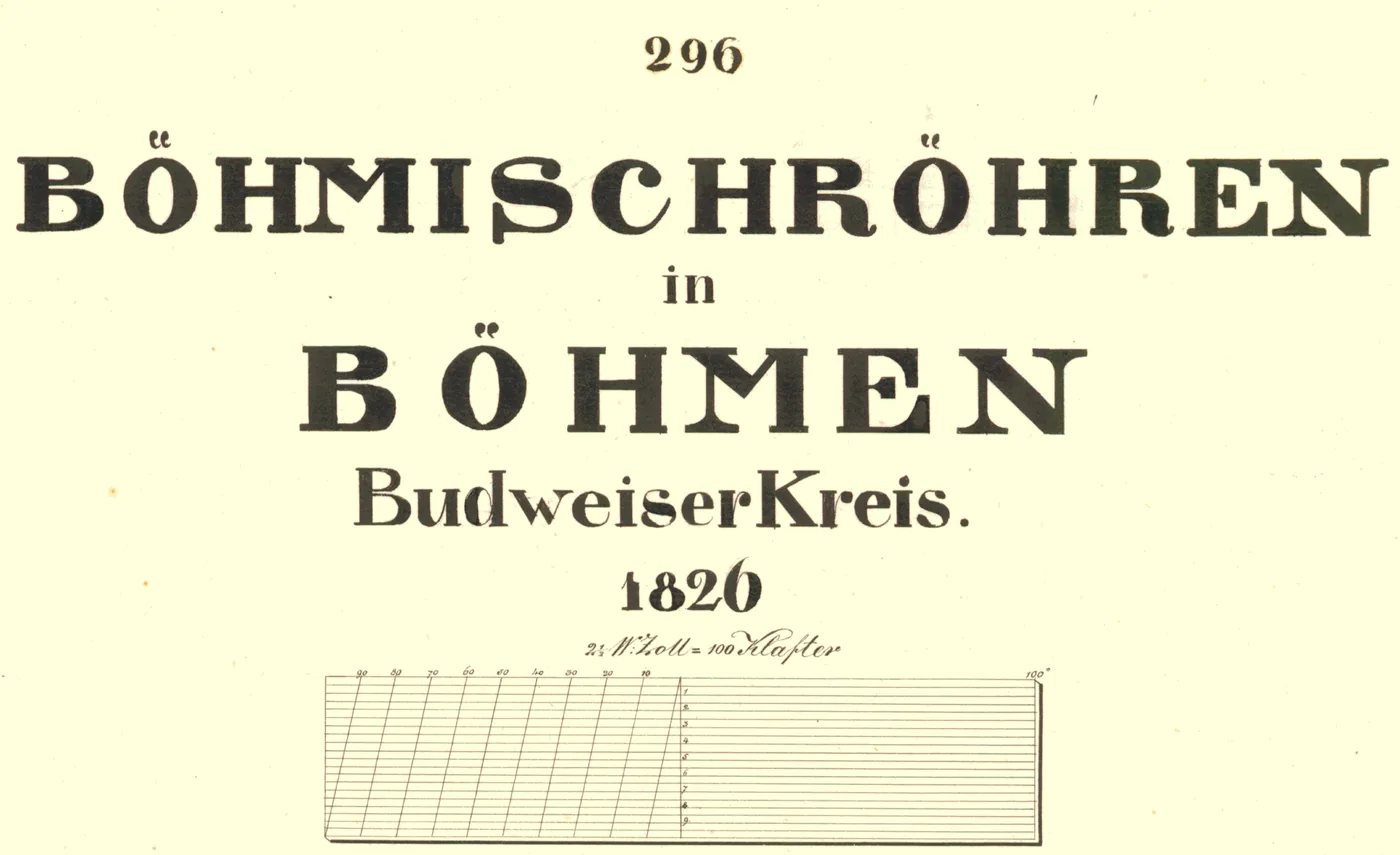
Scan of the map's title note – survey year, scale and other details of the cadastre.