← Stable Cadastre

Stodůlky

Stable Cadastre · Praha district · Hlavní město Praha

6 sheets

01

Clickable sheet index and list

Click a sheet in the index or in the list to open it in full resolution. The arrows in the viewer move to the neighbouring sheets.
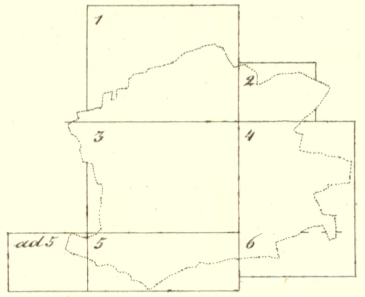
Index of map sheets – Cadastral area Stodůlky1234655b

6 / 6 sheets

Cadastral area Stodůlky – sheet

Scroll or pinch to zoom, drag to pan. PageUp/PageDown switches to the neighbouring sheet.

02

Map information

Scan of the map's title note – survey year, scale and other details of the cadastre.
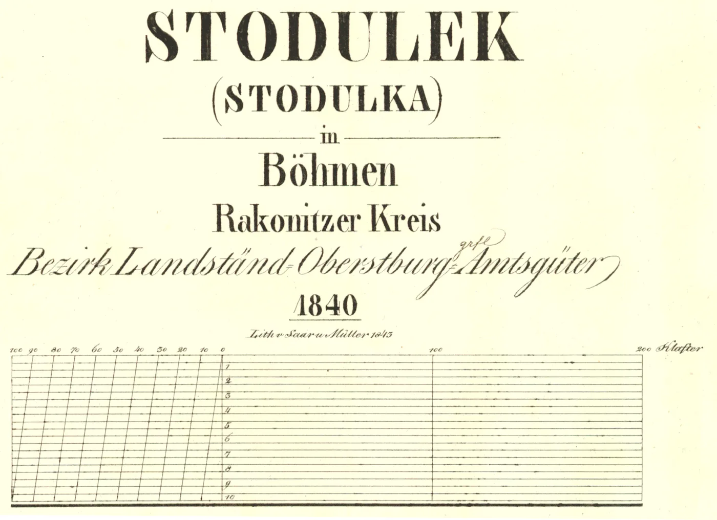
Map information – Stodůlky
© Laboratory of Geoinformatics, UJEP; Central Archive of Surveying and Cadastre